top of page
Beautiful Landscape

Drone Inspection Imagery & Support

Enhance inspections with efficient drone imagery and expert support services for accurate analysis and streamlined technology integration
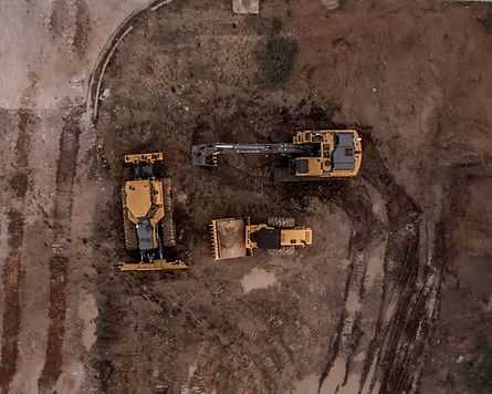
We specialize in delivering high-quality drone imagery tailored for infrastructure, utility asset, roofing, and property inspections. Our advanced aerial technology captures detailed images and videos, empowering certified inspectors in accurate assessments, effective planning, and showcasing their work. Enhance efficiency, improve planning, and ensure safety and longevity of buildings, infrastructure, or utilities.

Powerline transformer

Inspection Services

Drone Imagery & Live View Support
priced per project

  • High-Quality Aerial Imagery: We offer certified inspectors our expertise in capturing high-resolution drone imagery, providing detailed visual documentation of the inspected areas. 

  • Real-Time Live View: Our experienced drone pilots can provide live video feeds during inspections, allowing inspectors to remotely view and assess the property in real-time. 

  • Data Collection and Organization: We assist inspectors in collecting and organizing the drone imagery and live view footage obtained during inspections.

Assistance with Different Types of Inspections

Utility Inspections
call for price

  • Power Line and Transmission Tower Inspections: Our drone imagery assists in inspecting power lines, transmission towers, and other utility infrastructure. Inspectors can identify issues such as damaged equipment, vegetation encroachment, or potential hazards, improving maintenance and ensuring uninterrupted service.

  • Wind Turbine Inspections: Drones can capture detailed imagery of wind turbines, enabling inspectors to identify structural issues, malfunctioning components, or areas requiring maintenance, optimizing turbine performance and longevity.

Building and Infrastructure Inspections
minimum $400

  • Commercial and Industrial Building Inspections: Our drone imagery supports inspections of commercial and industrial buildings, assisting in the identification of structural defects, roofing issues, façade damage, or potential safety hazards.

  • Bridge and Dam Inspections: Drones provide access to challenging or hazardous areas for bridge and dam inspections, allowing inspectors to assess structural integrity, identify cracks or erosion, and monitor maintenance needs.

Property Inspections
minimum $400 per property

  • Real Estate Inspections: Inspectors can assess the condition of roofs, exteriors, and surrounding areas, providing valuable information to buyers, sellers, or real estate agents.

  • Insurance Inspections: Detailed imagery of properties for insurance inspections, helping to assess risks, evaluate property conditions, and streamline the underwriting process.

Train Crossing Bridge
Service pathway diagram

Benefits of Drone Imagery for Inspections

Benefit 1: Enhanced Safety and Reduced Risk of Accidents

Drones offer the advantage of eliminating or minimizing the need for personnel to physically access hazardous areas during inspections, thereby reducing the risk of accidents and injuries. This benefit is supported by the findings of a study conducted by Keck et al. (2018) on the use of drones in industrial inspections, highlighting improved safety as a key advantage.

​

Benefit 2: Cost and Time Efficiency

Utilizing drones for inspections can significantly reduce costs and time associated with traditional inspection methods. Drones can swiftly capture imagery of large areas, enabling faster data collection and analysis. A research article by Zhou et al. (2020) examining the economic benefits of drones in infrastructure inspections supports this efficiency gain.

​

Benefit 3: Detailed and Accurate Data Collection

Drones equipped with high-resolution cameras or sensors can capture detailed imagery, enabling inspectors to obtain precise and comprehensive data about buildings, infrastructure, roofs, and properties. This advantage is highlighted in a study conducted by Manfreda et al. (2018) on the use of drones in remote sensing applications.

​

Benefit 4: Improved Decision-Making and Planning Processes

The availability of high-quality drone imagery enables inspectors and professionals to make accurate assessments, plan effectively, and identify potential issues or maintenance needs in a timely manner. A report by PwC (2016) on the use of drones in infrastructure highlights improved decision-making as a significant benefit

Schedule a Drone Imaging Session

Certified inspectors and asset managers can contact us today to schedule a drone imaging session and gain access to high-quality aerial imagery for their inspection needs. Elevate the quality, efficiency, and success of your work with our advanced drone technology.

Learn more how Spatial Technology is impacting your Industry!

bottom of page